2020 Habitat Classification and Sensitivity AnalysisWith funding from the European Maritime and Fisheries Fund (EMFF), the University of Plymouth have just completed a year-long research project to improve our knowledge of the seabed habitats to the east of St. Marys and to develop a tool that can be used to help visualise and understand their sensitivity to different fishing pressures. Cornwall IFCA on board the Tiger Lily spent four days in May 2019 towing a sidescan sonar to provide a seabed profile, the following month a team from the University of Plymouth spent six weeks working on board the Kestrel with local skipper Adam Morton. The team used a towed flying camera array in transects of about 40 minutes each to provide a detailed picture of the seabed type and the marine life that is growing on top of it. They also used a Shipek grab to gather small samples of sediment which was later analysed to find out the types of creatures that live under the seabed. Over the winter the videos and samples were analysed and classified into different habitat types and amalgamated with existing models. This provides us with a much more accurate and detailed seabed map which helps us to understand how they could be impacted by fishing activities. Habitat sensitivity comes from the Marine Evidence-based Sensitivity Assessment (MarESA) database developed by MarLIN in Plymouth. The research discovered a habitat that had been modelled as soft sediments, was actually colonised by reef species such as bryozoans and hydroids growing through a thin sediment veneer from the rock underneath. The full report can be read here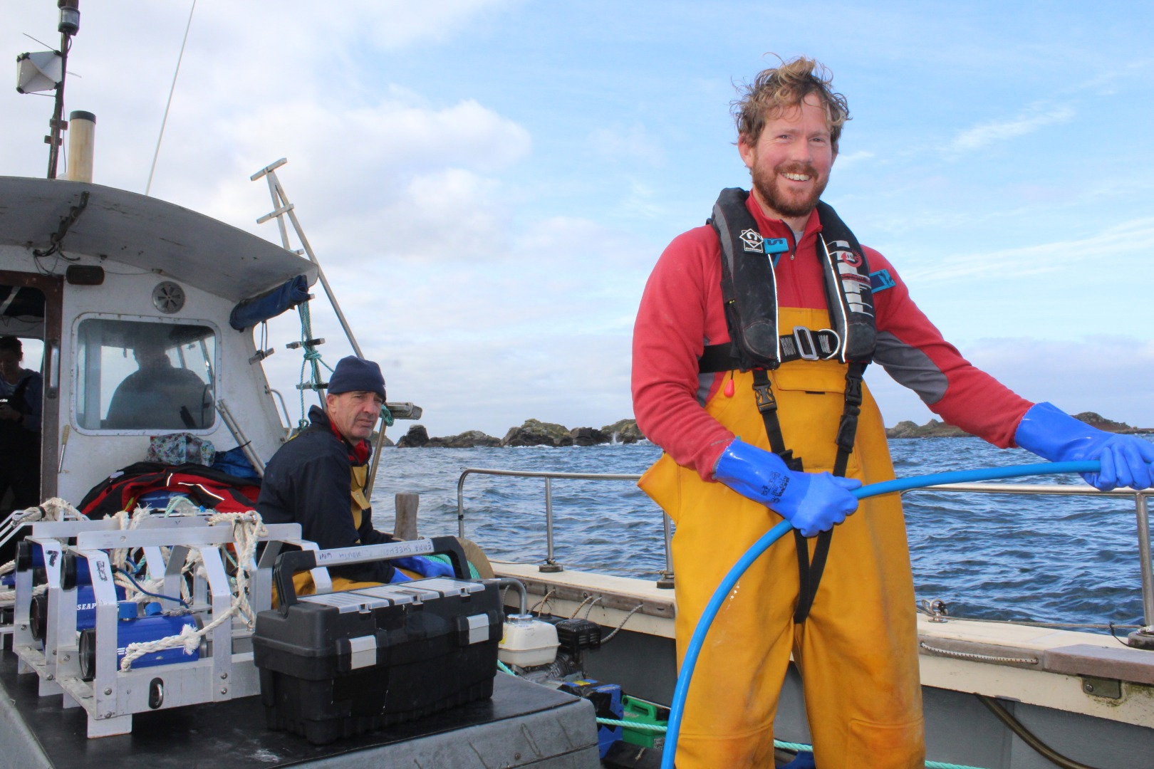 |